
Research, applied
Welcome to Anaplian
Applying state-of-the-art research in geospatial and socio-economic fields to your company needs.
See the work
Research, applied
Applying state-of-the-art research in geospatial and socio-economic fields to your company needs.
See the work01 · Urban climate
Landsat 8/9 surface temperature, vegetation and a comparable climate-vulnerability index (IVC) for 30 cities and 747 political subdivisions, April–May 2026.
Ahmedabad leads the 30 cities (IVC 61/100): 99% of its urban fabric exceeds 43 °C at the pixel peak. Mexico City is 3rd, with the strongest heat island in the sample (SUHI +13.0 °C versus its own rural land).
Open the report →Venustiano Carranza (Mexico City) leads the 747 subdivisions (IVC 82.6/100). Inside Mexico City the IVC runs from 11.3–82.6.
Open the report →Thirty city reports with surface temperature, vegetation and SUHI, ranked by IVC for April–May 2026.
Open the report →02 · Protected areas
ESA WorldCover 10 m land cover for national parks in nine countries, ranked by cropland and built-up share.
9 countries and 335 national parks, ranked by cropland + built-up from ESA WorldCover 10 m. México leads: 5.58% of its park area is cropland or built-up.
Open the atlas →03 · Ground motion
Cumulative subsidence in Mexico City from Sentinel-1 radar, September 2018 to September 2026, referenced to Pedregal de Carrasco.
The sinking follows the old beds of Texcoco, Chalco and Xochimilco. The scale reaches 1.4 m; Venustiano Carranza’s median is about 1.5 m in eight years.
Open the map →04 · Team
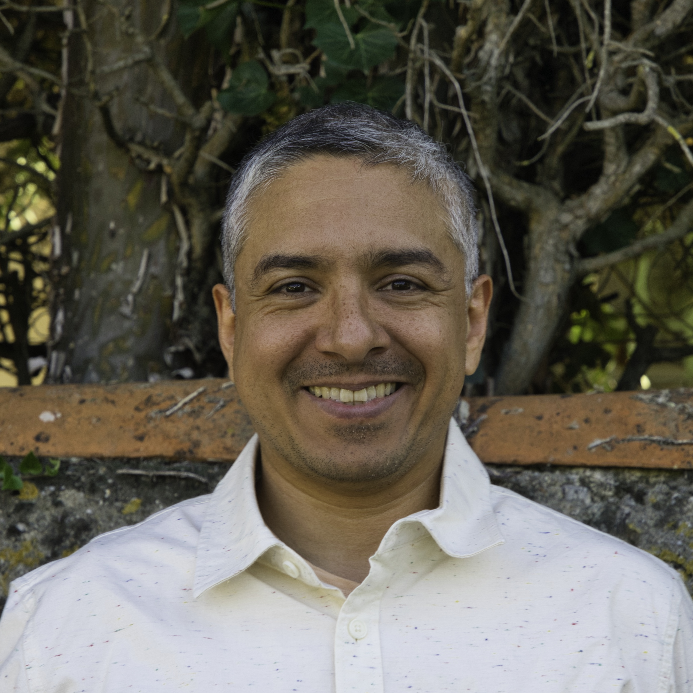
Founder · data science and economics
Profile →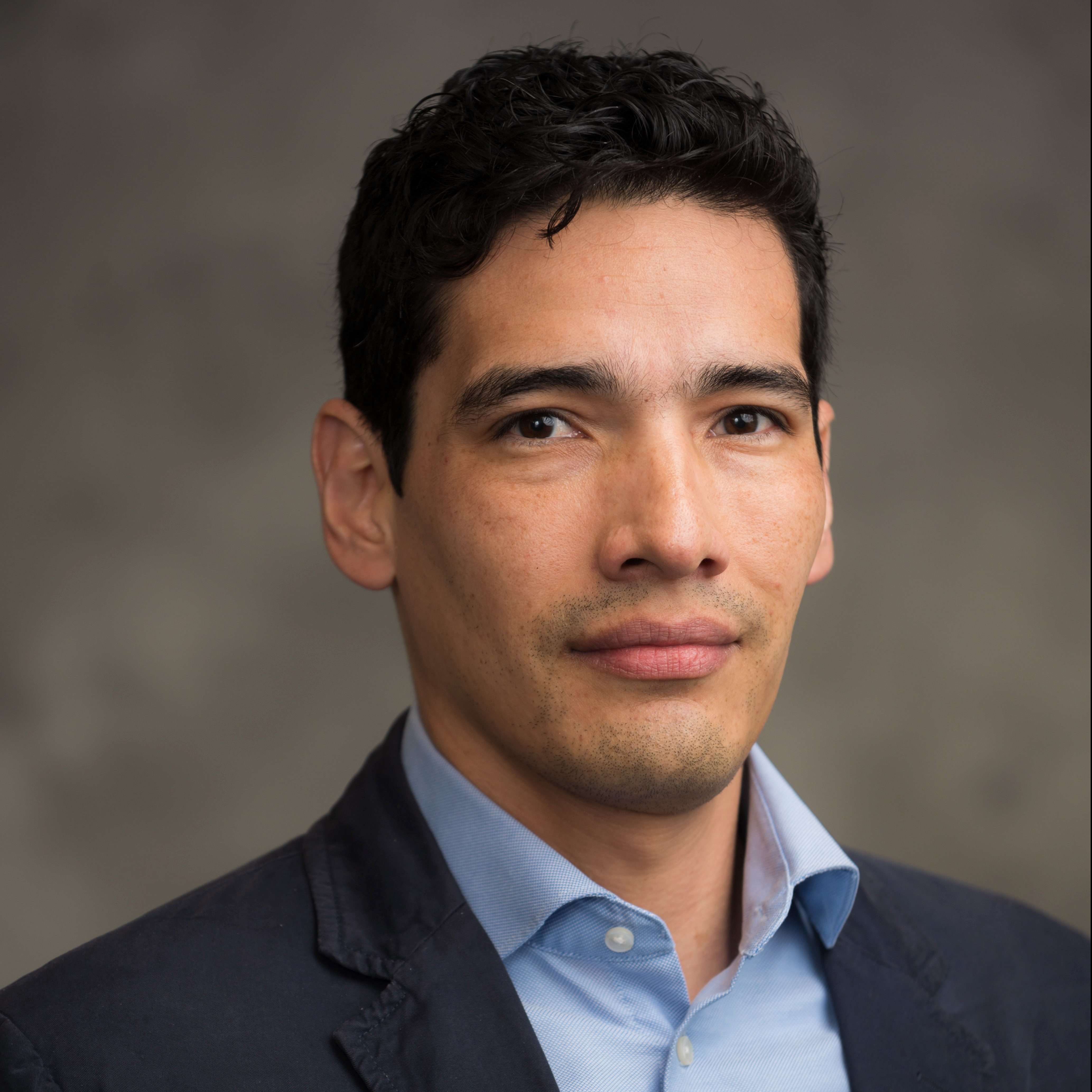
Political scientist · University of Michigan
Profile →
Energy and environment specialist
Profile →
Bioinformatician and computational biologist
Profile →
Urbanist and engineer · sustainability and collaborative design
Profile →Contact
We'd love to hear from you. Please reach out with any inquiries at contact@anaplian.com